This is a new project starting in fall 2022 to investigate the spatiotemporal demise of the western Greenland ice sheet after the last glacial maximum. The planned cruise is in 2023, so stay tune! This work is in conjuction with collaborators at UF, OSU, CU Boulder, and Scripps, plus many others.
We are working with archaeologists from DRI and the USACE to map dammed lake that contain archaeological resources. This has involved extensive geophysical surveying in six lakes and broader research by our collaborators. This work is in conjuction with collaborators at SDSU, DRI, USACE, and OSU.
We are working with archaeologists to test the maritime hypothesis for the peopleing of the Americas. This has involved extensive geophysical surveying for submerged paleolandscpapes and interpreting the geologic controls on these features. We have also collected dozens of vibracores from both study sites and are in the midst of sediment core analysis. This work is in conjuction with collaborators at SDSU, NHMLA, and OSU.
Klotsko, S., Skakun, M., Maloney, J., Gusick, A., Davis, L., Nyers, A. and Ball, D., 2021. Geologic controls on paleodrainage incision and morphology during sea level lowstands on the Cascadia shelf in Oregon, USA. Marine Geology, p.106444.
A. Laws, A., J. Maloney, S. Klotsko, A. Gusick, T. Braje, D. Ball, 2020. Submerged paleoshoreline mapping using high-resolution Chirp sub-bottom data, Northern Channel Islands platform, California, USA., Quaternary Research 93(1), 1-22. doi:10.1017/qua.2019.34

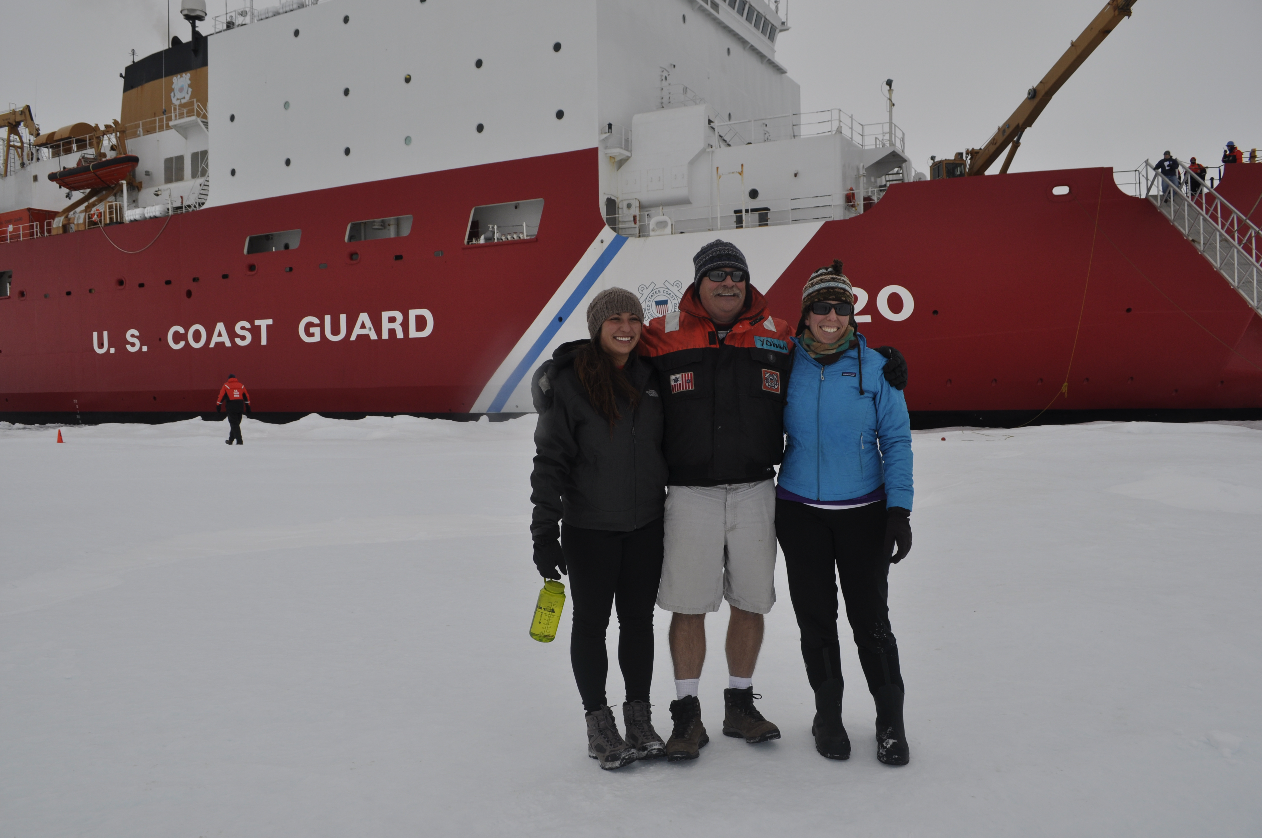
The Beaufort margin was the northwestern edge of the Laurentide ice sheet during the last glacial maximum (~20 ka). We study the various controls on sediment dispersal during the deglaciation, including glacial lake outburst floods and associated climatic affects, glacial lineations, and ice rafted debris from ice streams.
Klotsko, S., Driscoll, N., and Keigwin, L., 2019. Multiple meltwater discharge and ice rafting events recorded in the deglacial sediments along the Beaufort Margin, Arctic Ocean. Quaternary Science Reviews 203, 185-208.
L.D. Keigwin, S. Klotsko, N. Zhao, B. Reily, L.Giosan, and N. W. Driscoll, 2018. Deglacial Floods in the Beaufort Sea. Nature Geoscience 11, 599-604.

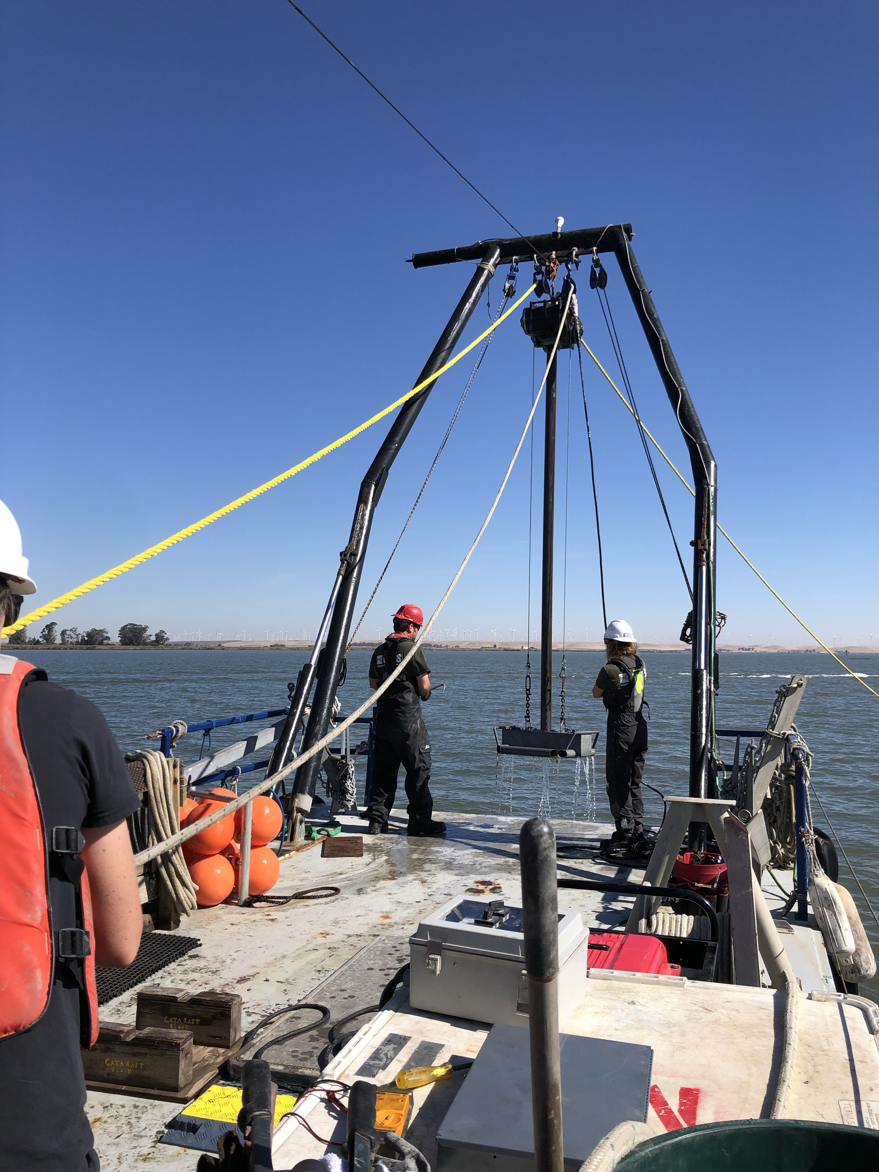
The Sacramento-San Joaquin Delta is the system that feeds into San Francisco Bay and it is an important part of California's water conveyence system. It is also crossed by many faults. We are mapping these faults in Chirp data and analyzing sediment cores from two of the faults to help provide constraints on previous ruptures.

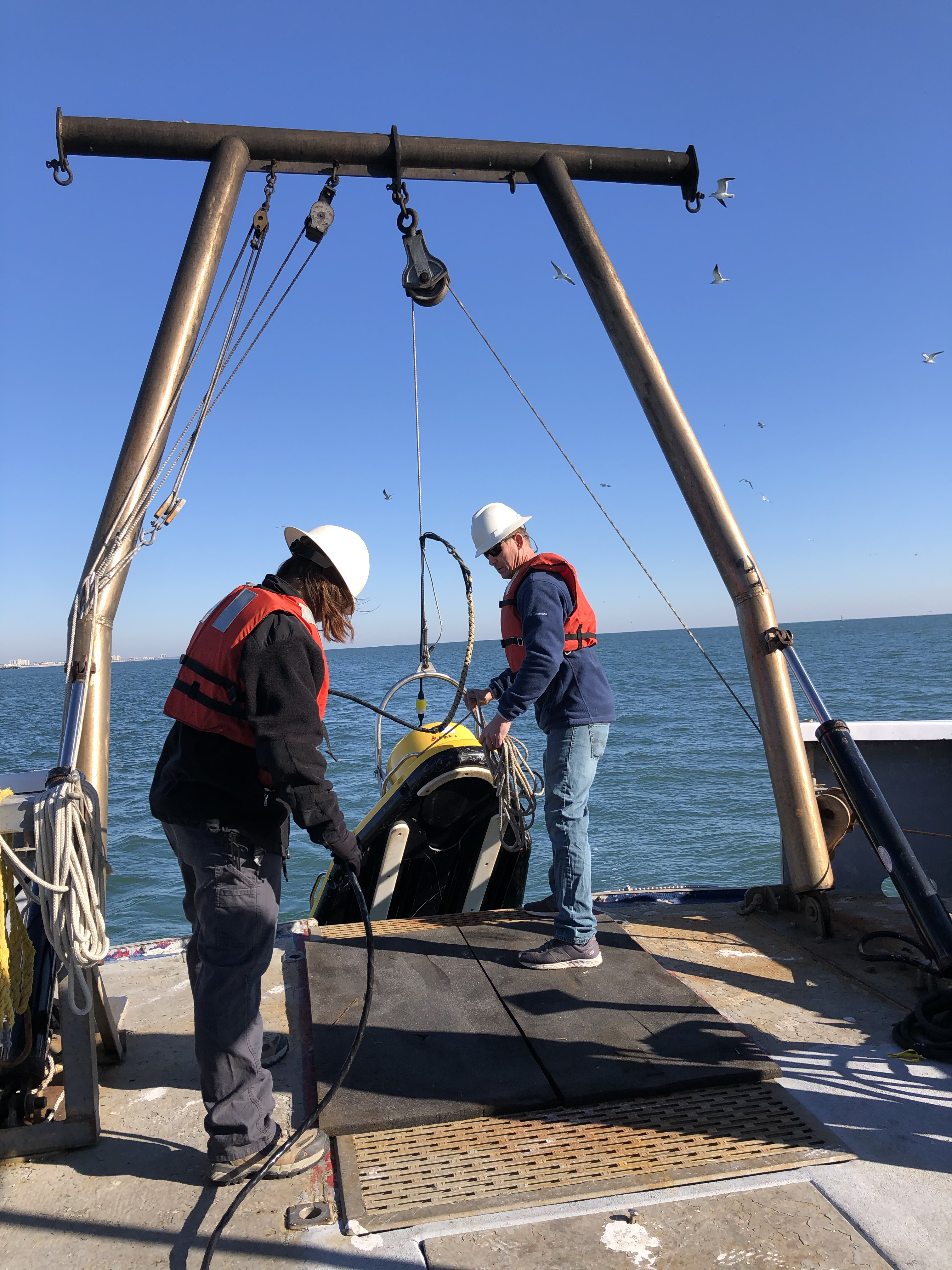
This is a project in the preliminary stages focused on the paleodrainage systems offshore of the barrier islands in the Wilmington area and potential sand resources they might contain.