Software
MATLAB (Scientific Computing and Plotting)
TECPLOT 360(Technical Plotting and Visualization)
Aarhus Workbench (Geophysical Inversion)
COMSOL Multiphysics (Multiphysics Finite Element Simulation)
HydroGeoSphere (HGS: 3D Numerical Groundwater Simulation)
Algomesh HydroAlgorithmics (Mesh Generation for MODFLOW and HGS)
ArcGIS and GlobalMapper (GIS)
Equipment
Durridge RAD7
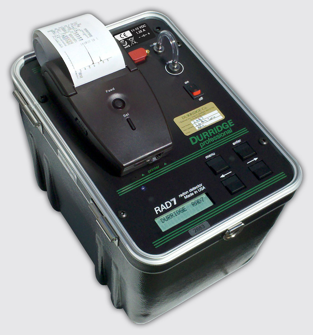
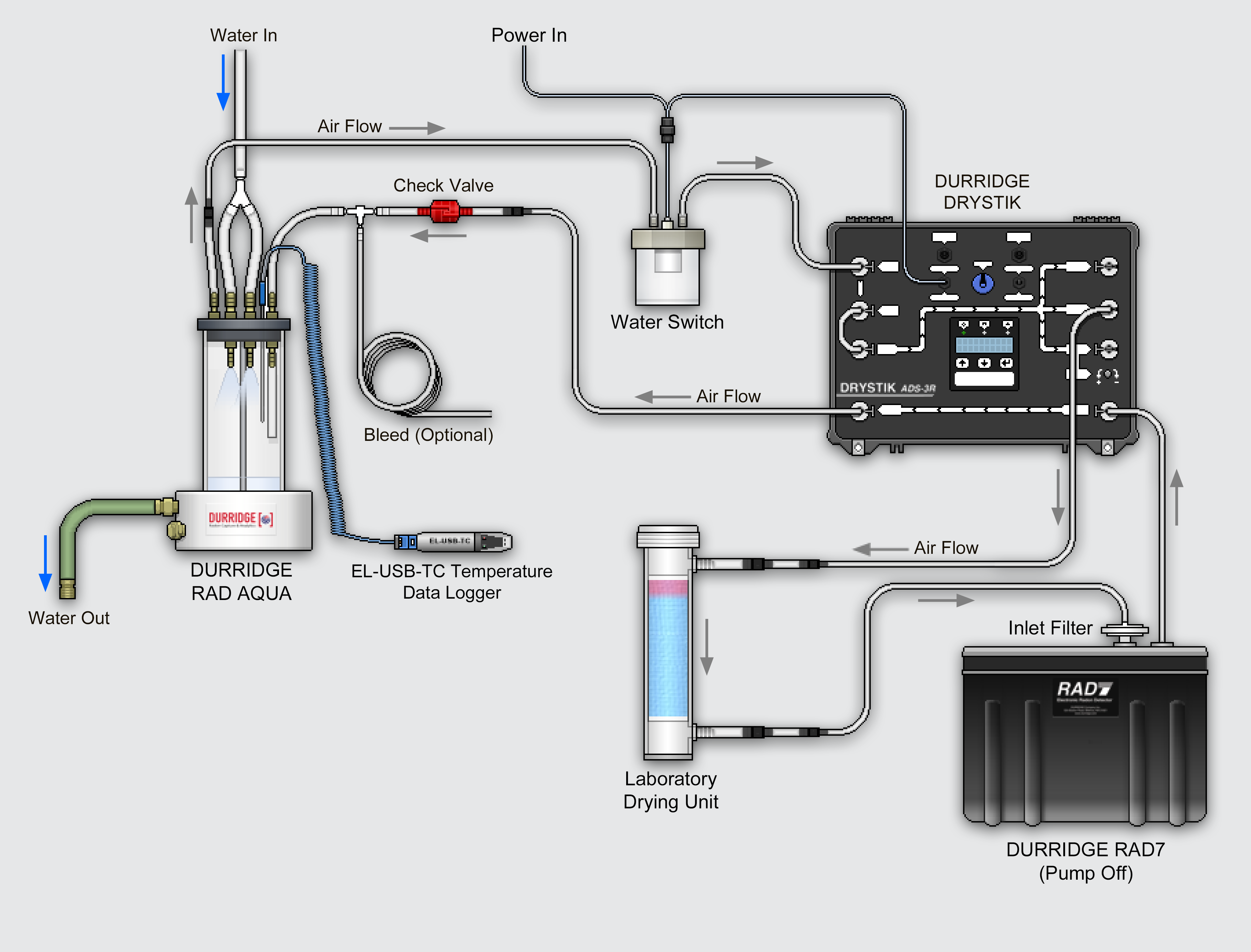
Our Radon-in-air monitor is equipped with water degasser (RAD Aqua) and sample bottle attachment (RAD-H2O) for measuring Rn gas concentration in water. 222Rn is a natural tracer of groundwater inputs in surface waters.
GEOPHEX GEM2
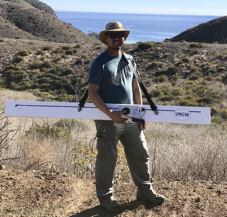

(Left) GEM2 from GEOPHEX is multi-frequency Electro Magnetic Induction (EMI) meter used to measure ground conductivity. It is used for groundwater exploration and contaminant detection. (Right) Cross-shore subsurface resistivity section along a beach at Bald Head Island NC showing high resistivity freshwater zones (yellow-purple) and saltwater saturated zone (blue).
GEOPROBE
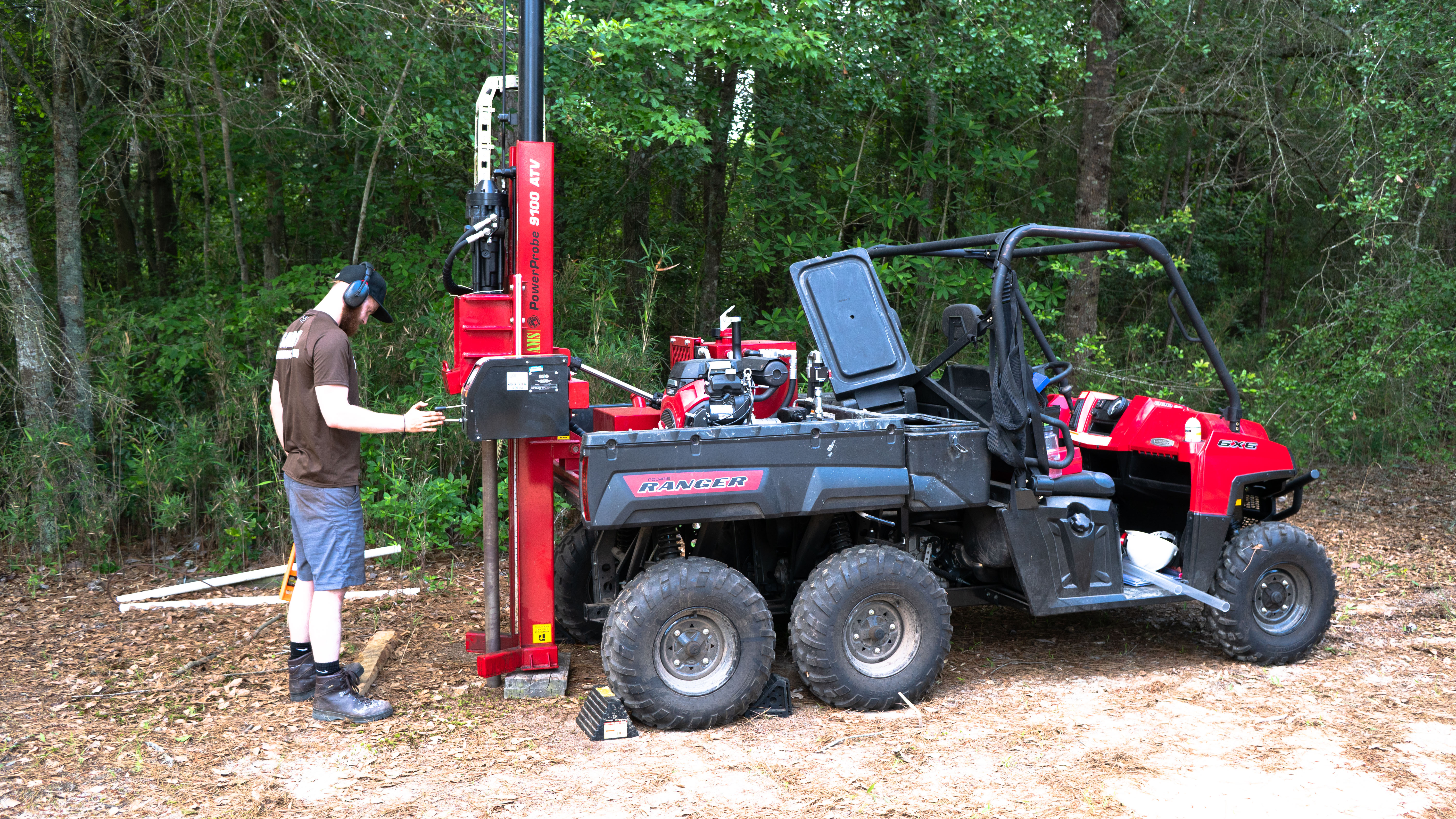
The ATV mounted direct push rig for coring and and shallow groundwater well installation is a common use equipment at the Department of Earth and Ocean Sciences at UNCW.
Isotope Ratio Mass Spectrometer
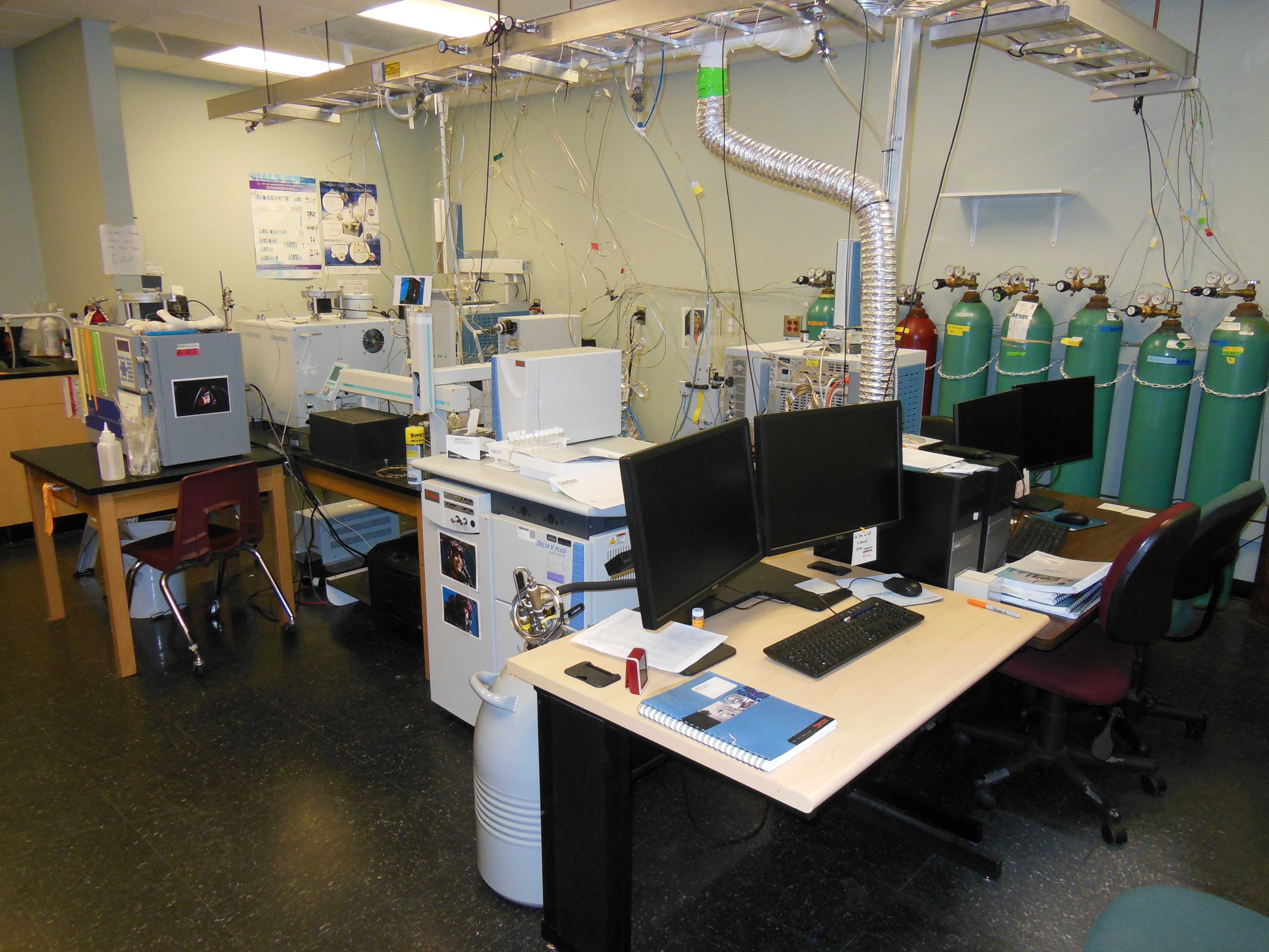
The Isotope Ratio Mass Spectrometer is a core facility at the Center for Marine Sciene managed by Dr. Chad Lane. Isotopes like 18O, 2H, 13C, and 15N that are useful in studying hydrological processes and tracing anthropogenic inputs can be analyzed using this IRMS system.
Flume
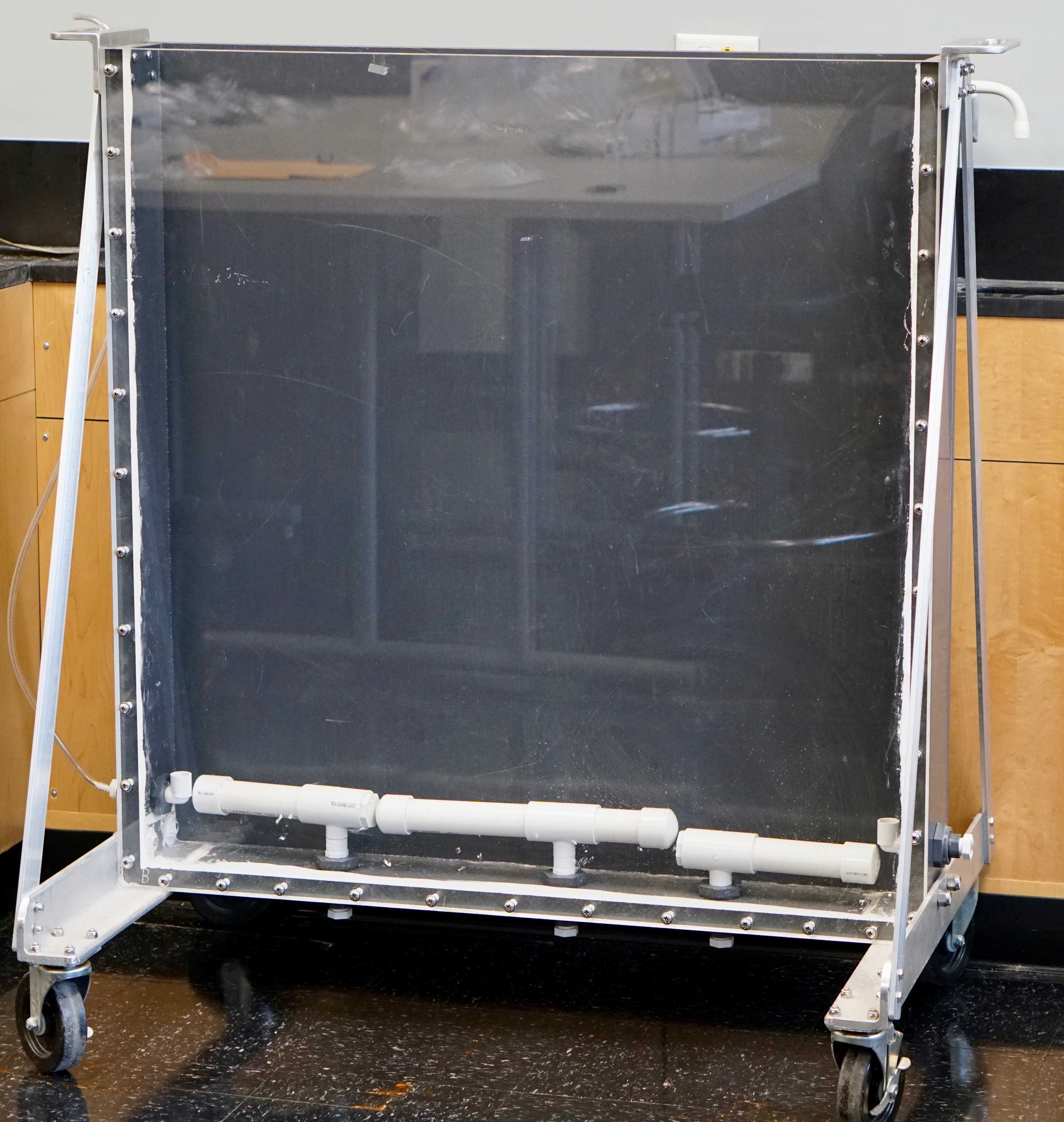
This 1x1 m fiber glass flume is used to run groundwater physical models mainly groundwater-surfacewater interactions in a controlled laboratory environment.