Coastal Erosion
 |
 |
 |
 |
Global warming is one of the most serious challenges facing us today. Under the projected climate changes, many parts of the planet will become warmer. Droughts, floods and other forms of extreme weather will become more frequent, threatening food supplies, economic assets, and human lives. Plants and animals which cannot adapt to the changed weather conditions will die. Sea levels are also rising and will continue to do so, forcing millions of people in coastal zones to migrate inland.
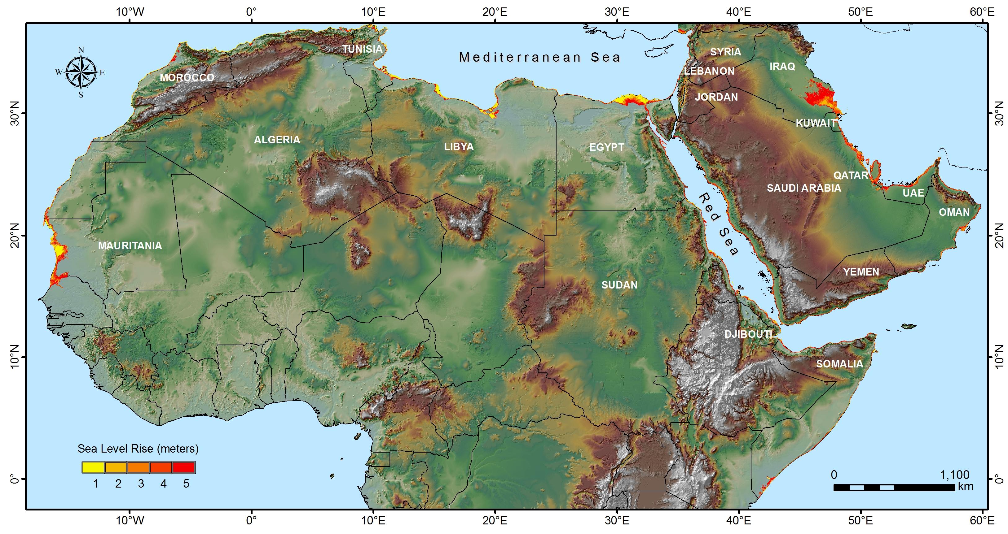
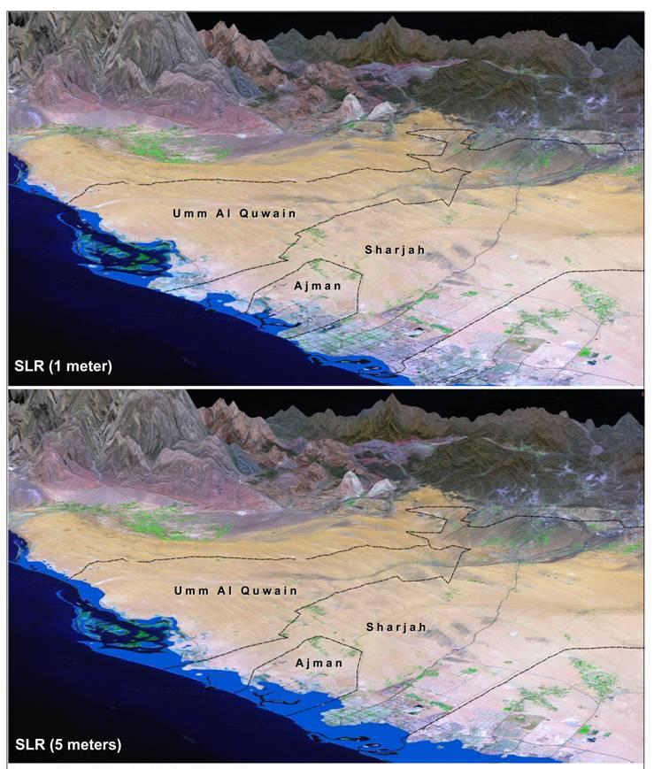
This study uses remote sensing techniques to depict the consequences on the Arab world of various climate change impact scenarios, ranging from conservative to extreme. To view more closely the effect of SLR on the Arabian coastline and highlight those countries with high potential risk of SLR, a simulation for SLR has been conducted using the Geographical Information System (GIS) and the Shuttle Radar Topography Mission (SRTM) data. These data, which are widely used in many scientific investigations, are considered to comprise the best Digital Elevation Model (DEM) on a global scale with consistency and overall accuracy.
