All the latest.

Hurricane Florence
Reseachers deployed instruments before hurricane Florence and collected drone imagery before and after the storm to better understand the storm impacts. In collaboration with the UNCW Remote Sensing Research Laboratory, drone imagery was converted to elevation maps to look at the storm-induced coastal change. [NSF Award No. 1901894]

New Modeling Study Published
A recent paper studying how higher sea levels will impact the evolution of barrier islands during hurricanes was released and highlighted by the NOAA Centers for Coastal and Ocean Science (NCCOS).

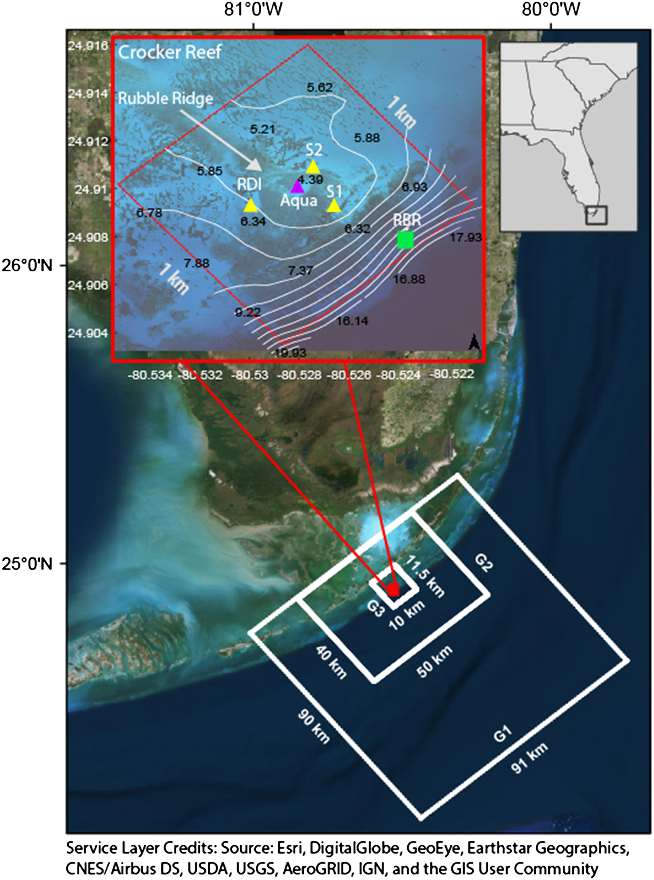
Hydrodynamics and Sediment Mobility on Coral Reefs
Check out a new paper where we look at the hydrodynamics over a dead coral reef during calm periods and stroms to better understand sediment mobility and distribution!
