Research
I am an applied climatologist with
interests in hydrology, climate variability, and vulnerability of coastal and
island environments of the Caribbean and United States. My dissertation
investigated the impact of climatic variability upon the flood hydrology of the
southeastern United States. Over the past 15 years, my research has
evolved and expanded into the current focus of Caribbean hydroclimatology
and the vulnerability of Caribbean societies to climate change.
This research involves a series of projects which include monitoring of
rainfall and other hydrologic variables in the Bahamas, assessment of current
and past hydrodynamics of St. Croix, USVI, and investigation of double exposure
vulnerability of small-holding farmers in Jamaica.
Bahamian Hydroclimatology: The Bahamian monitoring project has been housed at the Gerace Research Center, College of the
Bahamas, San Salvador Island since 2001. The
project collects data for use in collaborative research that links climate to
karst processes, the microbiology of inland lakes, the distribution of invasive
tree species, and island water resource development. Initially, this
research focused upon assessing the climate of flank margin caves on the island
with an attempt to assess the potential of condensation-corrosion as a cave
growth process. This work served as the basis for similar analysis on
other carbonate islands (Puerto Rico and Guam) and the conclusion that the
probability of condensation-corrosion increasing cave volume in these locations
is very low. Beyond the research of the link between cave climatology and
cave formation processes, data from a rain gauge network has also been used to
assess the spatial variability of precipitation across San Salvador. The
majority of current literature suggests that a small island with low relief
such as San Salvador will experience little spatial variability in
precipitation. However, field observations over the past fifteen years
indicate it is common on San Salvador for one location to be experiencing rain
and the rest of the island to be dry. Preliminary analysis of the data
collected indicates that subtle differences do exist in rainfall amounts across
the island but these differences are not statistically significant.
The results from this research project are being used by geographers to assess
the distribution of invasive tree species and by hydrologists to assess areas
of the island with the greatest potential for freshwater supply.


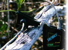
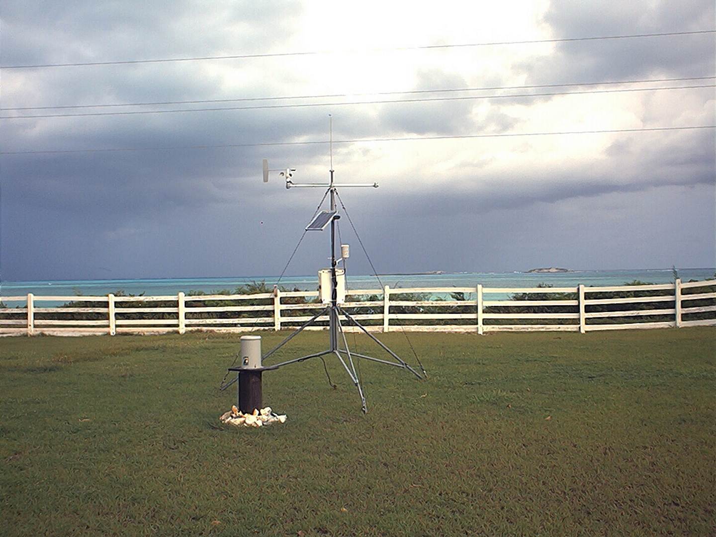
LACR weather station at the Gerace Research Center, San Salvador, Bahamas (left), and Former LACR research assistants Tony Crump, Adam Faircloth, and Abram Lambertson instrumenting Crescent Top Cave San Salvador (right).
St Croix Landscape History: The research project on St. Croix is an effort to
monitor current rainfall in Salt River Bay watershed, analyze historical
records of rainfall on St. Croix, and link these rainfall data to sediment core
paleoclimate proxies taken out from the Bay and inland ponds upstream of the
Bay. The expected result of the project is development of a long-term
history of Salt River Bay hydrodynamics and a series of settlements (Taino, Spanish, French, Maltese, Danes, and the United
States) have potentially impacted the hydrology estuary. This research is
being completed with Dr. Chad Lane, Geography and Geology, UNC Wilmington, who
is an expert in sediment core analysis and the paleo-climate of the circum-Caribbean. Further, it is hoped the results
useful to National Park Service efforts to manage the Salt River Bay.

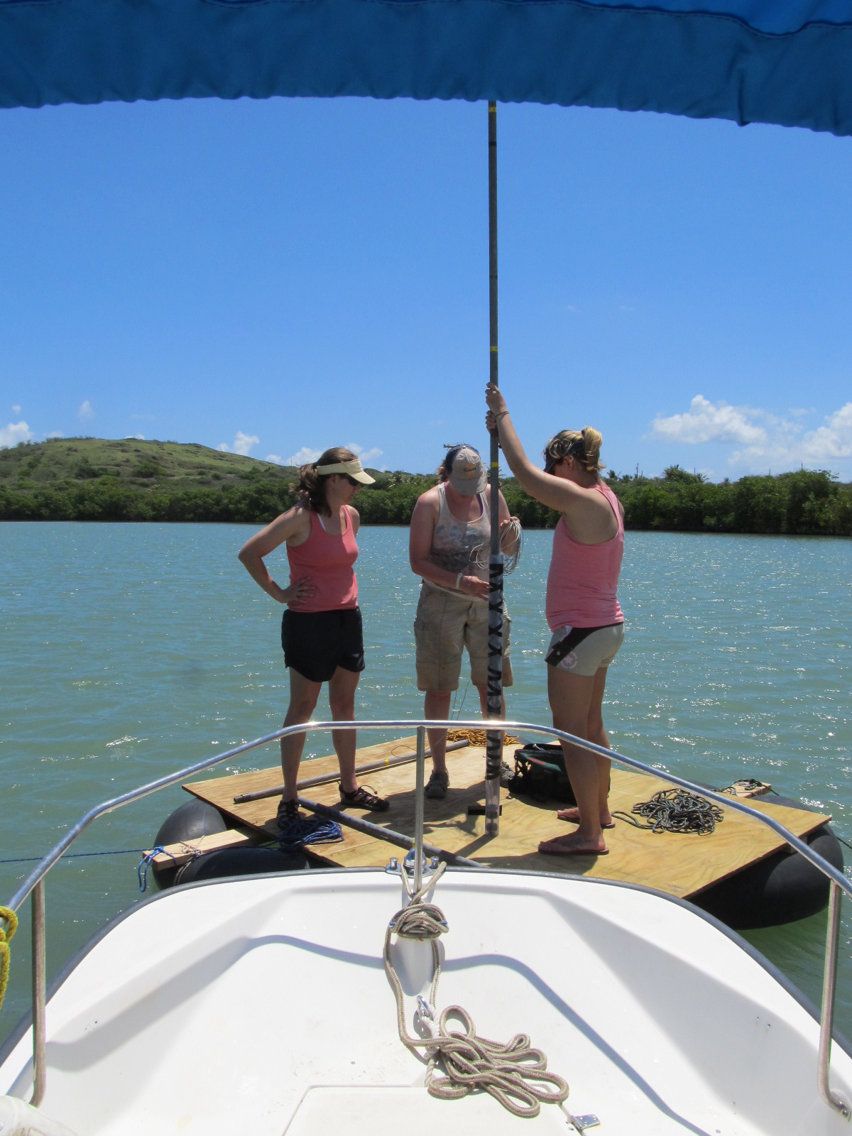
Post doc researcher Amy Wagner and graduate students Paula Reidhaar and Jen Zivkovic prepare to take a sediment core from Mangrove Lagoon, St. Croix (left) and Jen Zivkovic, Amanda Tedick, Doug Gamble and Chad Lane secure coring platform on Fredensborg Pond, St. Croix (right).

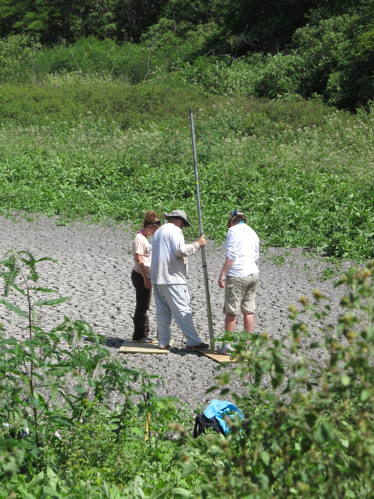
Amanda Tedick, Chad Lane, and Palua Reidhaer prepare to core dried pond in Windsor Forest, St. Croix (left) and Doug Gamble, Chad Lane, and Amy Wagner work on weather station in Salt River Bay, St. Croix (right).
Drought, climate change, and Jamaican
agriculture: The
research on San Salvador created broader research questions concerning the hydroclimatology of the entire Caribbean basin,
particularly the Caribbean mid-summer drought (MSD). The Caribbean MSD
represents a decrease in rainfall between June and August; a time of year that
should be rainy due to atmospheric instability and high frequency of tropical
storms. Scott Curtis, East Carolina University, and I began to
investigate the spatial variation in the Caribbean MSD and its link to the
North Atlantic high pressure cell. In 2007, we received funding from the
National Science Foundation's Geography and Regional Science and Climate Dynamics
Programs to complete this work. This research has lead
us to the realization that the MSD, and drought in general, represent a
significant hazard to agriculture across the Caribbean. Consequently,
Scott, myself, and Jeff Popke, also from ECU, developed a project to
investigate the impact of climate and economic change upon drought and
agriculture in Jamaica. We received funding to complete the work from
NSF's Geography and Spatial Science Program in 2013. This project
examines the vulnerability of Jamaican farmersí double exposure to both
climate change and market volatility. Drawing on climate data and
interviews with farmers in St. Elizabeth Parish, we highlight some of the
regional manifestations of climate change, and the ways in which climate stressors
impact the market conditions that farmers face. Initial results indicate
that farmers in Southwestern Jamaica are experiencing a combination of
decreased rainfall in an early planting season and an overall increase in
seasonal precipitation variability. Due in part to this increased
variability in precipitation, farmers are also facing
greater volatility in farm gate prices with alternating periods of market glut
and scarcity. This changing climate/price regime is leading
to a variety of farm-level adaptation strategies, including changes to planting
methods and timing, new forms of water management, and the adoption of new
agricultural technology.
Deployment of instruments with farmer in Hounslow area (left); rain gage, soil moisture probe and temperature logger deployed in peanut field Hounslow area (right).
Scallion field with guinea grass mulch to conserve soil moisture (left) and thyme field in front of Manchester Mountains (right).
In all of these research activities, I have involved students in the research process. Over the years, I have had students accompany me to the Caribbean, conduct interviews on the beaches of North Carolina, complete satellite analysis, and co-author journal articles. If you are a student interested in these research projects, please do not hesitate to contact me.
Page designed by Ryan Jordan.
Updated by Doug Gamble 09/15
[Best if viewed
at 1024 x 768 pixels]